


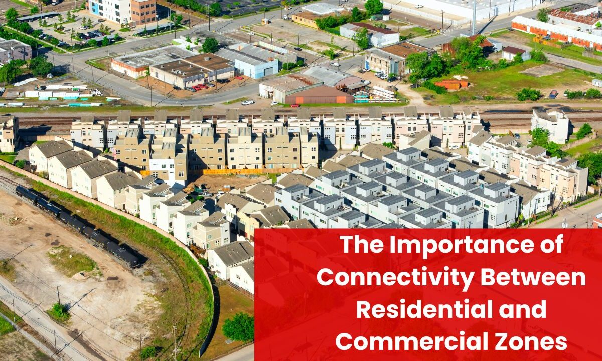
In 2025, the cities and towns outperforming their peers share one trait: seamless connectivity between residential and commercial zones.
When everyday destinations—jobs, shops, schools, clinics, parks—are reachable by multiple modes within predictable travel times, communities gain across the board: higher job accessibility, shorter commutes, healthier streets, stronger local economies, and a smaller carbon footprint.
The connectivity agenda isn’t just about roads; it’s a coordinated approach that blends land-use mix, transit, walking and cycling networks, curb and parking reforms, and data-driven operations so that people and goods can move efficiently.
Below, you’ll find the latest facts and figures, plus a practical playbook for leaders trying to stitch homes and businesses into one high-performing urban fabric.
Why connectivity between homes and jobs matters now
- Commutes remain time-intensive. The mean one-way commute in the U.S. climbed to 26.8 minutes in 2023, with long-commute shares rising. Lost time depresses productivity and household well-being.
- Congestion exacts real costs. In 2024, the typical U.S. driver lost 43 hours to traffic—nearly a workweek—and hundreds of dollars in time value.
- Urban economies concentrate value. Roughly 80% of global GDP is generated in cities; the closer residents are (by time, not just distance) to jobs and services, the stronger the labor market and the more resilient main streets.
- Mobility is changing fast. Micromobility hit a record 157 million shared trips in North America in 2023, and electric mobility topped 17 million car sales globally in 2024—evidence that mode choice is diversifying wherever good networks exist.
- Safety is finally improving. U.S. traffic deaths fell to ~39,345 in 2024 with the lowest fatality rate since 2019—momentum to lock in with safer street design that benefits walkers, cyclists, transit users, and drivers.
The connectivity equation: from distance to time and choice
It’s not just “how far” homes are from jobs; it’s “how quickly and reliably” people can reach them by multiple modes. High-performing regions excel on:
- Destination accessibility: the number of jobs reachable within 30–45 minutes by transit and active modes from residential areas.
- Network legibility: connected street grids, fewer dead-ends, safe links across barriers (highways, rivers, rail) that otherwise force long detours.
- Land-use mix: mixed-use zoning that brings employment, retail, schools, and services closer to homes—reducing vehicle miles traveled (VMT) and enabling short, non-car trips.
- All-ages-and-abilities design: Complete Streets treatments and protected bike lanes that make non-car trips comfortable for everyone.
- Efficient curb use: reliable loading zones, micro-hubs, and cargo-bike access that keep commercial streets moving.
What the latest data says about walkable access and 15-minute living
- Walkable access differs dramatically by city. European cities top global accessibility rankings; in some, nearly all residents live within a 15-minute walk of essential services. U.S. metros show wider gaps, reflecting suburban distance and disconnected street patterns.
- 15-minute city principles can deliver double-digit CO₂ reductions, because shorter, multimodal trips replace a share of car travel.
- Transit priority pays off in job access: every minute shaved from bus or tram travel times can unlock dozens to hundreds of additional jobs-within-reach for riders, especially when connections are reliable.
How connectivity boosts local business (and property values)
Retail corridors linked directly to nearby neighborhoods by wide sidewalks, safe crossings, and protected cycle tracks see footfall rise and sales grow.
In multiple before/after evaluations, corridors that added protected bike lanes and pedestrian amenities posted double-digit retail sales gains and stronger job growth compared with similar streets that didn’t improve.
Housing markets respond to practical convenience, too: recent syntheses show price premiums for homes in highly walkable neighborhoods, reflecting buyer willingness to pay for time savings and lifestyle flexibility (fewer cars, easier errands, safer school commutes).
Equity: connectivity is a fairness issue
Roughly 8% of U.S. households are zero-vehicle—and the share is higher among lower-income and Black households.
For many seniors, teens, and people with disabilities, safe walking routes, step-free transit access, and nearby essential services are the difference between independence and exclusion.
Well-connected neighborhoods mean shorter, affordable trips to jobs and daily needs, not just for the affluent but across the community.
Freight and the “last mile”: commercial vitality without gridlock
Last-mile delivery now accounts for about 53% of total shipping costs. Poor curb design or missing loading zones forces double-parking, which slows buses, blocks bike lanes, and frays the customer experience.
Smart curb management, delivery reservation apps, off-peak windows, micro-hubs, and e-cargo bikes let commercial streets hum without compromising safety or reliability for residents.
The design moves that actually close the gap
- Fill the missing links
- Sidewalk completions, mid-block crossings, and multi-use paths that connect neighborhoods directly to job centers, main streets, and stations.
- Protected intersections to knit residential bikeways into commercial districts safely.
- Make transit the default for key corridors
- Transit signal priority (TSP), bus lanes, all-door boarding, and reliable headways on the routes that feed commercial cores.
- Mobility hubs: co-locate bus/rail with bike parking, scooter docks, parcel lockers, and ride-hail pick-up to simplify transfers.
- Legalize proximity with zoning
- Mixed-use zoning in station areas and along bus corridors.
- Parking reform (reducing or removing minimums near high-access areas) to unlock infill housing and new storefronts while cutting costly dead space.
- Plan at network scale, not project-by-project
- A single bike lane is a novelty; a connected, low-stress grid is a transport system.
- Tie residential approvals to job-access metrics (e.g., percent of regional jobs reachable in 45 minutes by transit/walk/bike).
- Design for safety speeds
- Target 20–25 mph on mixed-use main streets with narrower lanes, raised crosswalks, daylighting, and tight curb radii to lower turning speeds.
- Manage the curb like precious real estate
- Price and prioritize short-stay customer spaces, ADA spaces, and commercial loading during business hours; shift long-stay parking off-street.
2025 snapshot: how better connectivity performs (at a glance)
| Outcome | What improves when homes and jobs are linked | 2025-level metric | Why it matters for communities |
|---|---|---|---|
| Job access | More jobs within 30–45 minutes by transit/walk/bike from residential areas | TSP and bus priority can add 26–200+ jobs reachable per minute saved | Faster, fairer labor-market matching; stronger employment and wages |
| Commute time | Shorter, predictable trips via multiple modes | U.S. mean one-way commute 26.8 min (2023); aim lower in connected districts | Time savings reallocated to family, study, or work |
| Local business | Higher footfall on commercial streets | Up to double-digit retail sales gains after walk/bike upgrades | Revenue and jobs stay in the neighborhood |
| Safety | Fewer high-risk conflicts at junctions | U.S. fatalities fell to ~39,345 (2024); safer design sustains the trend | Lower medical and social costs; more kids and seniors traveling independently |
| Climate & air | Mode shift for short trips; fewer cold-starts | CO₂ per mile avoided for walked/biked trips; 15-minute design yields large reductions | Cleaner air near homes, schools, and shops |
| Freight reliability | Faster, legal loading and fewer blockages | Last-mile ≈ 53% of shipping cost; micro-hubs & e-cargo trim dwell | Lower delivery costs; fewer conflicts at the curb |
| Equity | Affordable options for zero-vehicle households | ~8% of U.S. households lack a car | Access to jobs and essentials without car ownership |
Evidence-based policies tying residential and commercial zones together
- Transit-Oriented Development (TOD 2.0): Shift from station “dots” to corridor-scale TOD so homes and jobs align along reliable, frequent routes—not just at isolated nodes.
- Jobs-housing balance + retail mix: Balance alone isn’t a silver bullet, but teamed with retail-housing mixing, street connectivity, and quality transit, it cuts VMT and unlocks shorter trips.
- Smart Location mapping: Use 45-minute transit job-access indicators to choose where new housing and commercial space go; reward projects that raise accessibility for low-wage workers.
- Parking minimums reform: Removing or reducing minimums near high-access corridors can cut unit costs, enable more small storefronts, and reduce unnecessary car trips.
- School Streets & safe-routes networks: Protect the morning and afternoon peaks, boost walking rates, and keep commercial streets calmer.
A 12-month playbook for city leaders
Quarter 1–2: Diagnose and quick-build
- Publish access maps showing jobs reachable within 30/45 minutes by mode from each neighborhood.
- Deliver quick-build sidewalk fixes and protected bike links to your top three commercial corridors; add LPIs and no-turn-on-red at key crossings.
- Stand up curb pilots: price loading bays, mark ride-hail pick-ups, and enforce dwell limits.
Quarter 3–4: Scale and lock in
- Convert pilots to concrete where data show injury reductions and retail gains.
- Add bus lanes + TSP on two feeder corridors; bundle with signal retiming for reliability.
- Update the zoning map: allow mixed-use in station areas; waive parking minimums where 45-minute transit access to jobs is high.
- Codify maintenance (snow/leaf sweeping) for sidewalks and bikeways so non-car travel works year-round.
KPIs to track monthly
- Access: % of residents within 45 minutes of X jobs by transit; Y destinations by walk/bike.
- Safety: injury crashes on target corridors/intersections.
- Economy: retail sales/footfall on upgraded streets.
- Operations: bus speeds, dwell times at the curb, on-time performance.
- Equity: improvements in access for zero-vehicle and low-wage households.
Connectivity between residential and commercial zones is the quiet force multiplier behind safer streets, stronger local economies, and real climate progress.
In practice, it’s a bundle: mixed-use zoning, transit reliability, protected walking and cycling links, and smart curbs—applied as a network, not as one-off projects.
The payoff shows up quickly: more jobs within reach, shorter commutes, healthier air, lower delivery costs, and vibrant main streets that retain spending locally.
In 2025, the most competitive communities are the ones that design for proximity and time-based access, so households and businesses both win—every day.
FAQs
Not when designed as a connected network and paired with curb management. Protected facilities and calmer speeds reduce crashes and increase person-throughput; nearby businesses typically see more frequent visits and higher spending from people who live close enough to walk or bike.
Begin with short, high-impact links—safe crossings, a few protected cycle segments, and bus priority on one commercial spine. Pair with zoning fixes (mixed-use, reduced parking minimums) and data-driven curb pilots. Measure results and expand what works.
Shorter, reliable multimodal trips replace a share of car travel. That means fewer cold starts, less idling, and direct CO₂ cuts. Add electric buses, e-cargo bikes, and walkable access to daily needs, and a city’s transport emissions fall without sacrificing economic activity.